Contacts

NAI Glickman Kovago & Jacobs
Property Details
- Property Type VacantLand
- Lot Size 27.68 Acre
- Date Updated Jan 23, 2025
Reach out to the broker for more info on lease terms and amenities
Highlights
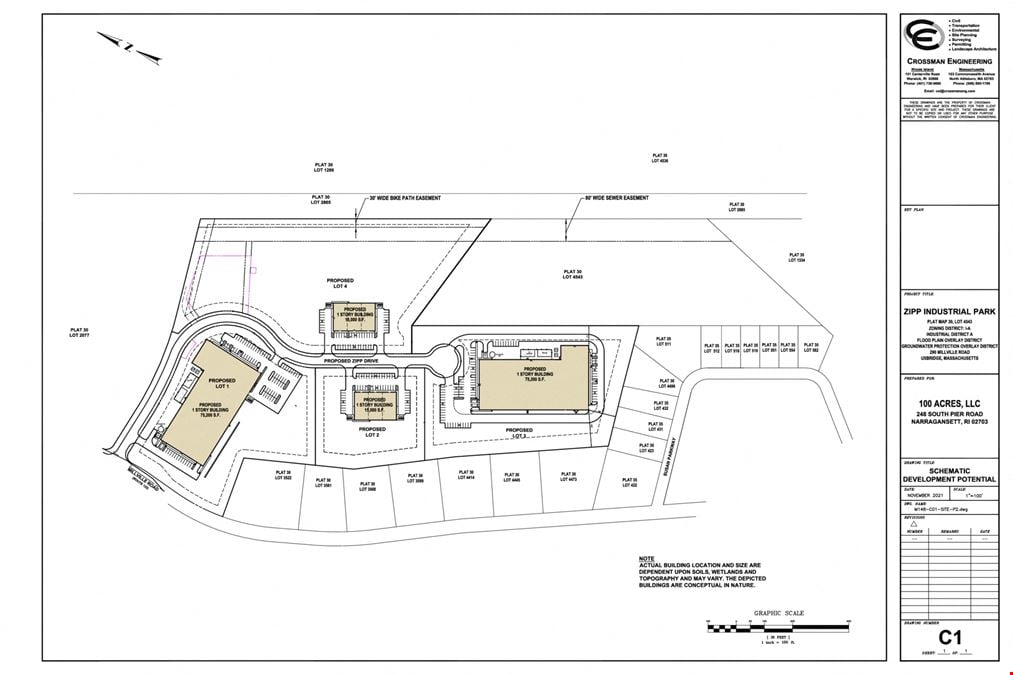
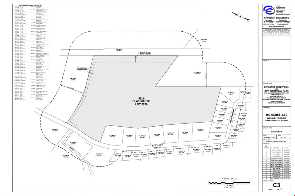
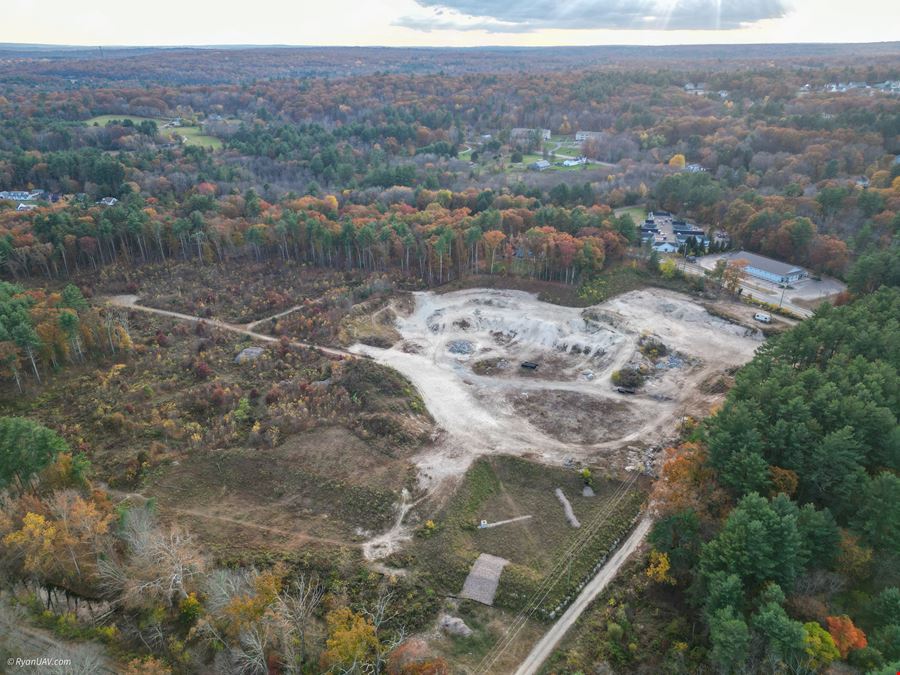
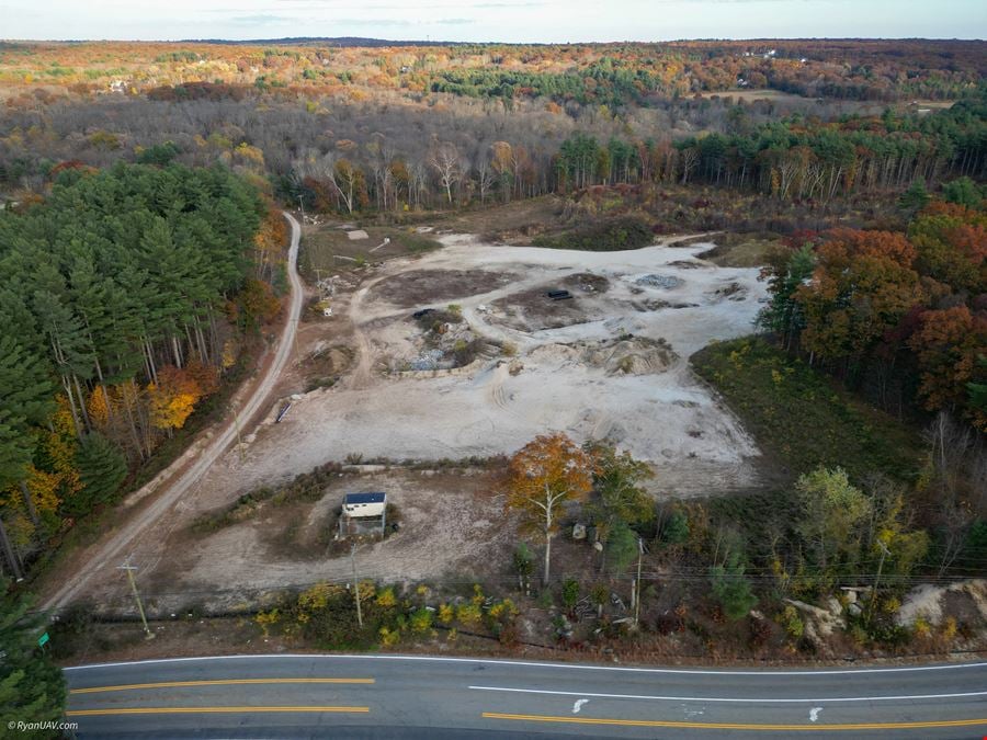
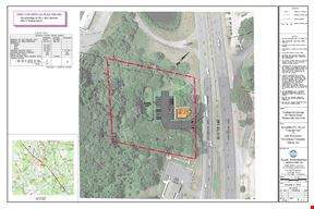
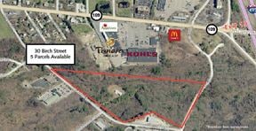
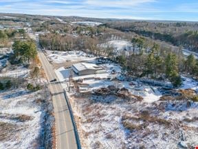
- 27.68 acre industrial subdivision
- Lot 1 & Lot 3 proposed 75,200 SF building
- Lot 2 & Lot 4 proposed 15,000 SF building
- Rail serviced land
- Cannabis friendly zoning
- Centralized location
- 2 miles to Route 146 &10.8 miles to I-495
- 8 miles to Worcester, 21 miles to Providence, 45 miles to Boston
Attachments
Getting around
-
12/100
Walk Score ®
-
19/100
Bike Score ®
Location
- City Uxbridge, MA
- Neighborhood Uxbridge
- Zip Code 01569
- Market Worcester Springfield
Points of Interest
-
Forge Park/495
9.54 miles
-
Mobil
1.12 miles
-
Cumberland Farms
1.55 miles
-
Helen Fuels Corporation
2.11 miles
-
Speedway
4.52 miles
-
Sunoco
6.93 miles
-
Stop & Shop
7.03 miles
-
Gulf
7.30 miles
-
Citgo
8.26 miles
-
Rapid Refill
8.72 miles
-
Weigh Station SR 146 (North Bound)
1.71 miles
-
Rest Area SR 146 (South Bound)
1.76 miles
-
Upper Charles Trail parking
9.00 miles
-
Fairfield Inn & Suites
9.06 miles
-
Comfort Inn
9.17 miles
-
DoubleTree
9.23 miles
-
Residence Inn Boston Franklin
9.67 miles
-
Hannaford
1.69 miles
-
Shaw's
4.62 miles
-
Walmart Supercenter
5.14 miles
-
Park 'n Shop
5.76 miles
-
Big Lots
6.95 miles
-
Stop & Shop
6.96 miles
-
Namaste Supermarket
7.72 miles
-
Big Y
8.51 miles
-
Quarry Square Shopping Center
8.78 miles
-
ALDI
8.79 miles
Access more in-depth information about this property — including ownership, tenant details, property characteristics and transaction history, along with local market insights and much more — on CommercialEdge.

NAI Glickman Kovago & Jacobs
