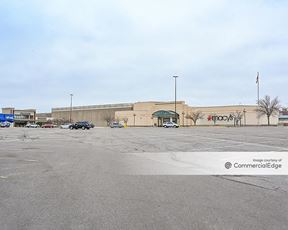
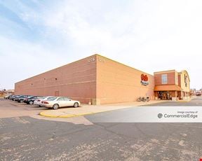
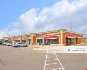
True
Space Available For Lease 4
#752 |
Hwy 62 (Old Hwy 110): 28,500 vpd Dodd Rd: 9,900 vpd

Jeremy Grittner
Jones Lang LaSalle 
Zac Hoang
Jones Lang LaSalle |
#758 |
Hwy 62 (Old Hwy 110): 28,500 vpd Dodd Rd: 9,900 vpd

Jeremy Grittner
Jones Lang LaSalle 
Zac Hoang
Jones Lang LaSalle |
#774 |
Hwy 62 (Old Hwy 110): 28,500 vpd Dodd Rd: 9,900 vpd

Jeremy Grittner
Jones Lang LaSalle 
Zac Hoang
Jones Lang LaSalle |
#780 |
Hwy 62 (Old Hwy 110): 28,500 vpd Dodd Rd: 9,900 vpd

Jeremy Grittner
Jones Lang LaSalle 
Zac Hoang
Jones Lang LaSalle |
Contacts

Jones Lang LaSalle

Jones Lang LaSalle
Property Details
- Property Type Retail - Neighborhood Center
- Property Size 52,887 SF
- Lot Size 8.14 Acre
- Property Tenancy Multi-Tenant
- Year Built 1970
- Date Updated Mar 21, 2025
Reach out to the broker for more info on lease terms and amenities
Getting around
-
53/100
Walk Score ®
-
65/100
Bike Score ®
Location
- City St. Paul, MN
- Zip Code 55120
- Market Minneapolis St Paul
Points of Interest
-
Fort Snelling
3.76 miles
-
Terminal 1 - Lindbergh
4.08 miles
-
VA Medical Center
4.13 miles
-
Central Station
4.58 miles
-
50th Street/Minnehaha Park
4.72 miles
-
Saint Paul Union Depot
4.74 miles
-
10th Street
4.79 miles
-
Union Depot
4.80 miles
-
Dale Street
4.99 miles
-
Western Avenue
5.00 miles
-
Speedway
1.16 miles
-
BP
1.33 miles
-
Holiday
1.37 miles
-
Costco gas station
1.95 miles
-
Costco Gasoline
1.96 miles
-
Costco Gas
1.96 miles
-
Holiday Stationstore
2.39 miles
-
ChargePoint
4.45 miles
-
Tesla Supercharger
5.16 miles
-
Dodge Nature Center
1.22 miles
-
Lilydale Trailhead
1.55 miles
-
Staff Parking
1.58 miles
-
Production Truck Parking
1.73 miles
-
EZ Air Park
2.28 miles
-
Mendota Heights Trailhead
2.73 miles
-
Faith United Methodist Church
2.84 miles
-
Fossil Grounds Parking Lot
2.91 miles
-
Health Partners Inver Grove Heights
3.16 miles
-
St. John Vianney parking lot
3.52 miles
-
Tommy Chicago's
0.08 miles
-
McDonald's
0.09 miles
-
Subway
0.15 miles
-
Boun Giorno
1.41 miles
-
Osteria I Nonni
1.41 miles
-
Papa Murphy's
1.92 miles
-
Axel's
1.93 miles
-
White Castle
2.03 miles
-
Chipotle
2.08 miles
-
Applebee's
2.14 miles
-
Burlington
1.93 miles
-
Cub Foods
1.94 miles
-
ALDI
2.14 miles
-
Target
2.27 miles
-
Rainbow Foods
2.31 miles
-
Walmart Supercenter
2.39 miles
-
Oxendale's Market (formerly R.C. Dicks)
2.47 miles
-
Mississippi Market Natural Foods Co-op
2.55 miles
-
Trader Joe's
3.19 miles
-
Korte's
3.41 miles
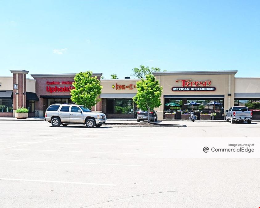
750 State Highway 110 Listing Brief
-
A property’s location contributes to the asking rent almost as much as its characteristics do. For instance, central urban locations with high walkability or suburban locations with ample parking and easy access by car will claim higher rents but offer superior access to your customer base. Likewise, the quality of the building systems and property finishes have a significant impact on how businesses can conduct their activity there, as well as on the experience of their customers.
The rent for retail space at 750 State Highway 110 is available upon request. Feel free to reach out using the contact form conveniently included on this page to find out more about what the property can offer for your business.
-
The property includes 14,784 square feet of retail space for lease. Of this total, 14,784 square feet are Retail.
For more information or to schedule a tour of the property, use the convenient contact form on this page to get in touch with a representative.
-
You should keep in mind that different areas gradually build a reputation as hotspots or desirable corridors for shopping, eating, or other entertainment and consumer activities. So, while renting retail space in an area with a well-established high-end reputation might mean more customers that are more willing to spend, it will also place you in a more competitive environment.
Access more in-depth information about this property — including ownership, tenant details, property characteristics and transaction history, along with local market insights and much more — on CommercialEdge.
